🔥 Fire Weather
SPC Fire Weather Outlooks (days 1-8) · VIIRS satellite fire detections · US Drought Monitor · Red Flag Warnings — updated 2026-10-02 5:51 PM ET
Red Flag Warnings (US)0 active
Tennessee fire alerts0
SPC Fire Weather Outlooks highlight areas where critical fire-weather conditions (dry fuels + strong wind + low humidity) support dangerous fire spread. Day 1 = today through tonight; Day 2 = tomorrow.
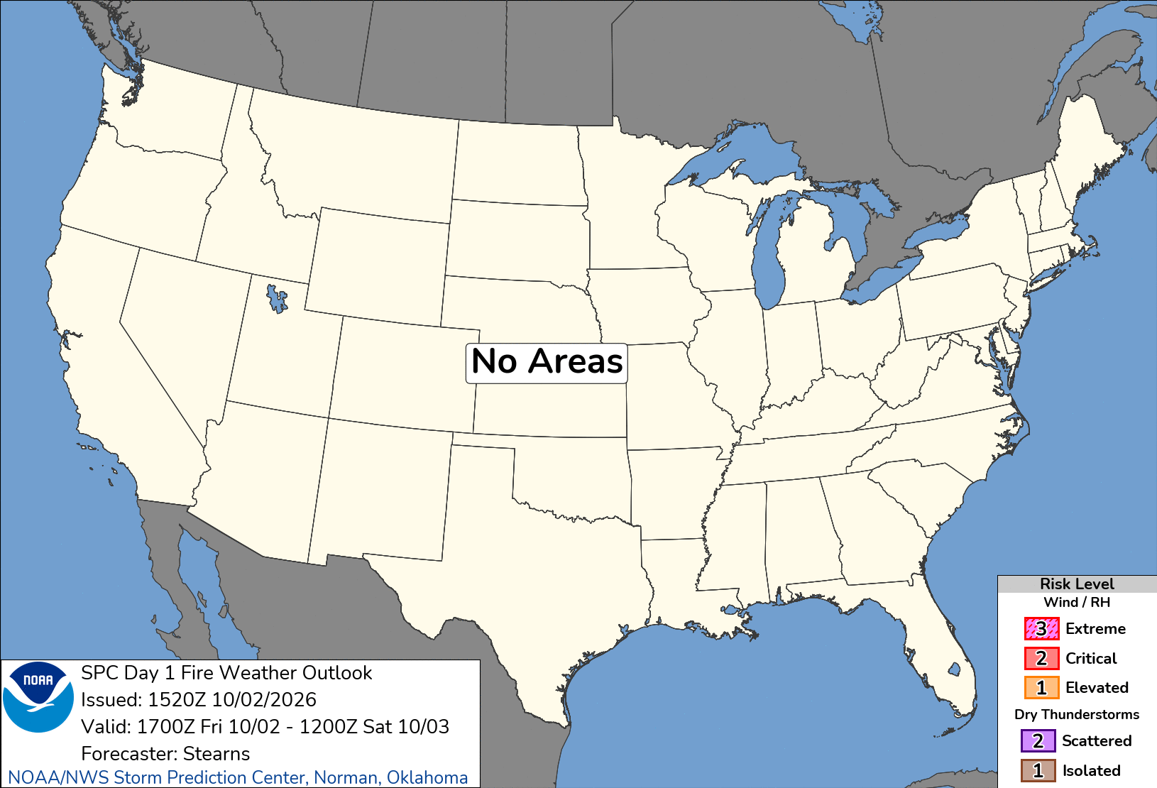
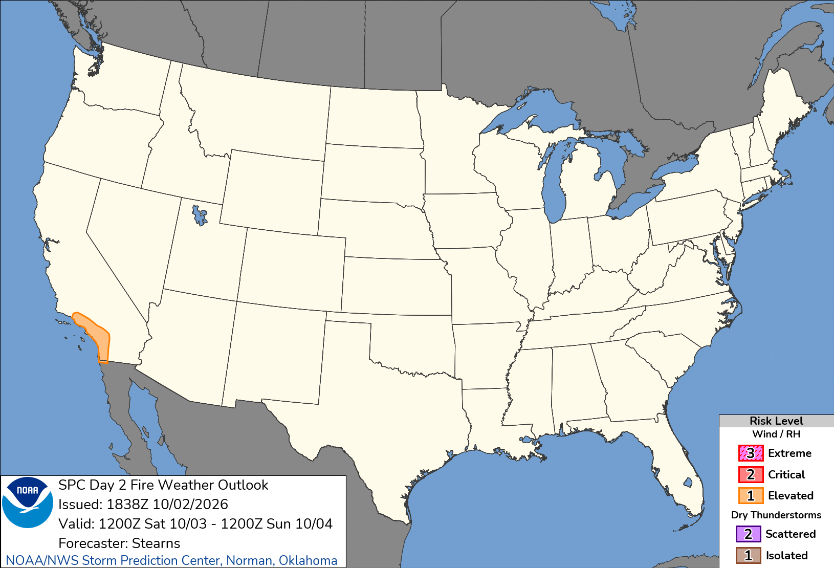
Days 1-2 are SPC's operational fire outlooks: critical fire-weather areas (dry fuels + strong wind + low humidity). Day 1 = today through tonight; Day 2 = tomorrow.
🗓️ Days 3-8 fire outlooks (SPC experimental) + drought
The extended-range fire view: daily fire-weather probability graphics through day 8 plus the days 3-8 composite - watch these when a dry, breezy pattern is building. The US Drought Monitor (updated weekly) is the fuel-dryness context: drought areas are where any ignition burns hottest and longest.
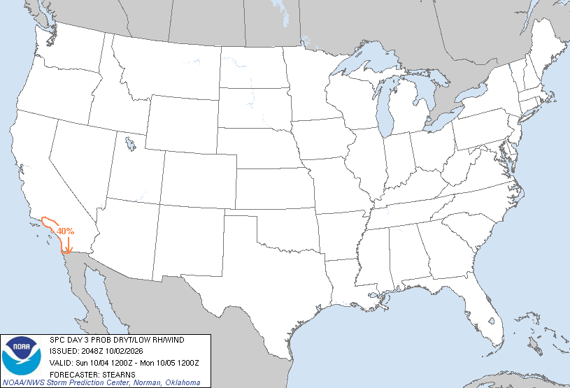 Day 3 fire probability
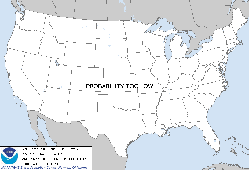 Day 4 fire probability
 Day 5 fire probability
 Day 6 fire probability
 Day 7 fire probability
 Day 8 fire probability
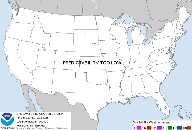 Days 3-8 composite outlook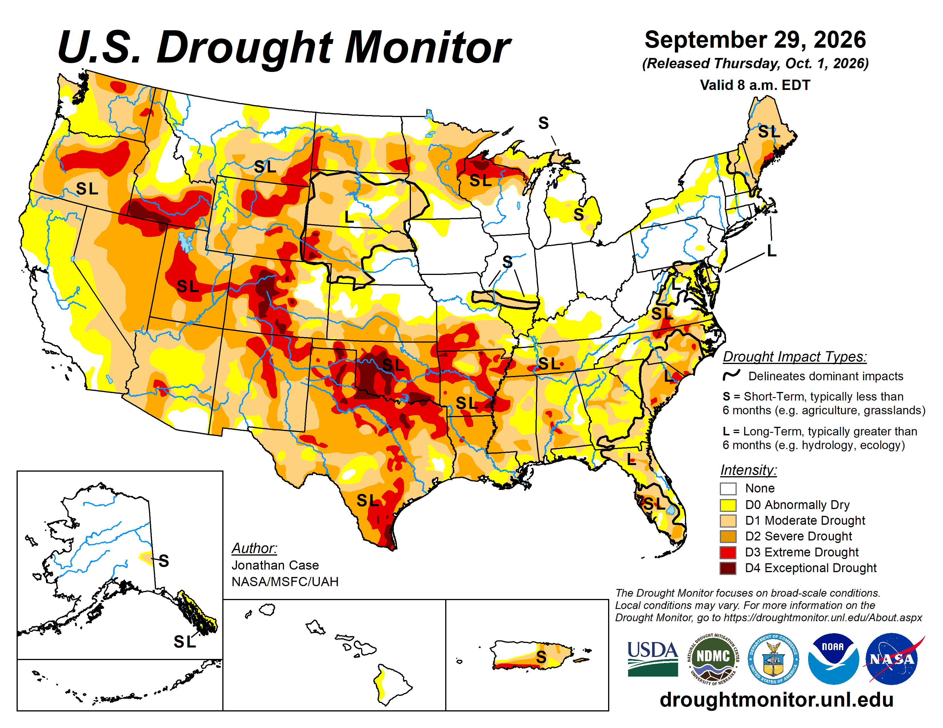
🛰️ Satellite fire detections - last 24 hours (NASA VIIRS)
Detections CONUS1,572
Tennessee region84
Closest to Greeneville, TN15 mi
Newest detection2026-10-02 1817
high confidence
nominal
low confidence
VIIRS 375 m active-fire detections (Suomi-NPP) - the same near-real-time feed forestry agencies use. Click a dot for heat output (brightness K), fire radiative power and acquisition time. Detection = heat signature, not a confirmed wildfire; cached 1 h. Source: NASA FIRMS.
🚒 Fire alerts
Tennessee
No fire-related alerts for Tennessee.
Nationwide Red Flag Warnings
No Red Flag Warnings anywhere in the US right now.
Wildfire safety: never burn on dry, windy days - embers travel. If a wildfire threatens, follow Tennessee Division of Forestry and local emergency-management evacuation orders immediately.