🗺️ National products
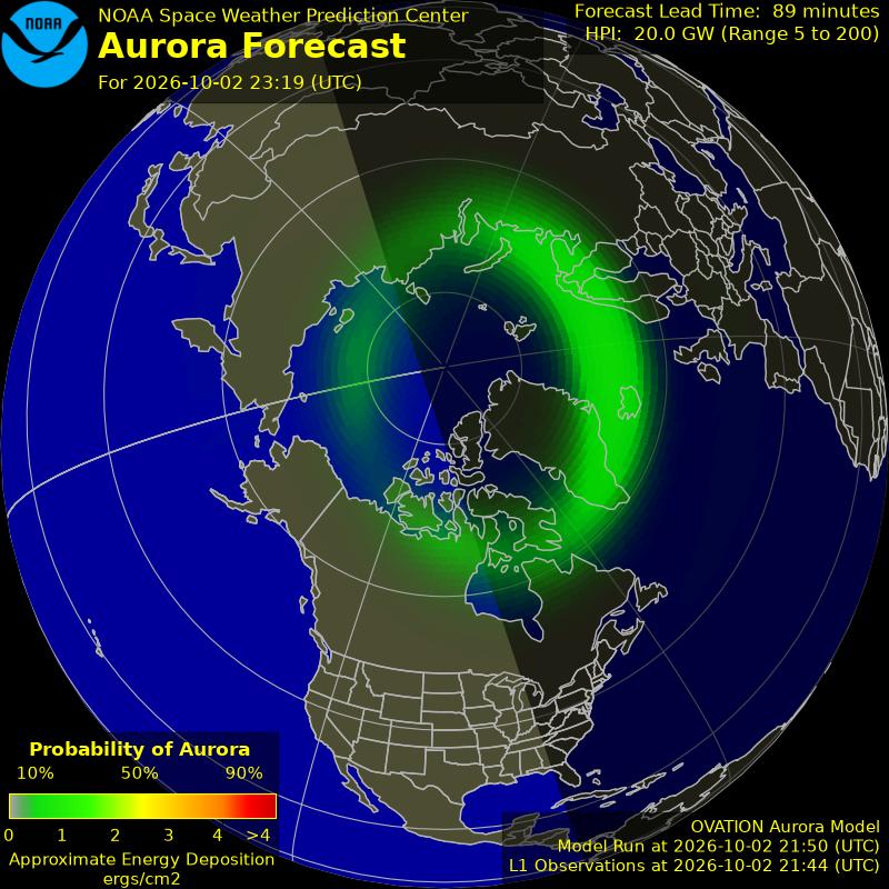
🌌 Aurora & space weather (NOAA SWPC)
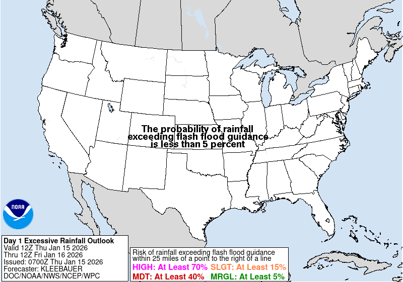
🌧️ WPC charts
🗣️ WPC forecast discussions
📝 Short Range (Days 1-2)
...Excessive rainfall threat shifts into the Southeast and Gulf Coast this weekend...
...Long duration October heatwave builds across central and southern California...
A wet weather pattern lingering across the Southern Plains will gradually shift eastward into the Gulf Coast and the Southeast this weekend as an anomalous October heatwave builds across the western U.S. This pattern will deliver another day of moderate to heavy rainfall near a stationary front across eastern Texas to eastern Oklahoma where the Weather Prediction Center maintains a slight risk (at least 15% chance) of excessive rainfall for tonight. Thereafter, a tropical wave moving westward through the Caribbean will bring increasingly unsettled weather through the Gulf during the weekend, with showers and embedded thunderstorms lingering along the Gulf Coast where as much as a few inches of rainfall totals can be expected near the immediate coast. Moisture associated with this tropical wave will linger and interact with the synoptic slowly moving across the Southeast. This interaction will produce additional thunderstorm activity with potential excessive rainfall concerns in the Southeast. Another slight risk is in effect for an area extending form the Central Gulf Coast to the Southeast Coast for Sunday. Meanwhile, a low pressure system will sweep across the northern tier bringing scattered to isolated showers and thunderstorms to the Upper Midwest/Great Lakes on Saturday into Sunday morning.
As the wet pattern persist across the South, an anomalous ridge of high pressure will help build a late season October heatwave across the western U.S. through the weekend. Heat advisories and excessive heat warnings are in effect for portions of central and southern California. Saturday is forecast to be the hottest day of the period, running 15 to 20 degrees above normal, pushing coastal areas well into the 90s and valleys as high as 107�F. Warm nights will provide minimal relief. The heat will then expand further northeast during the weekend, with high temperatures 80s and near 90 degrees emerging across the Great Basin. Extreme heat warnings are in effect for much of coastal southern California, while heat advisories are in effect for central California. Elsewhere, clear conditions with high pressure overhead could lead to another evening of frost and freezing conditions over portions of northern Wisconsin and Michigan tonight.
🌧️ Excessive Rainfall - Days 1-2
Day 1
16z Update: The latest changes to the Excessive Rainfall Outlook included trimming the Slight Risk out of southern Oklahoma to account for lower rainfall rates currently over the region and the latest model guidance indicating small probabilities for exceeding flash flood guidance and 24 hr QPF 2 inch probabilities. The higher end Slight Risk ERO outlook across central and southern Texas looks to remain on track. A moist environment with low level convergence nearby a front in the region has allowed for slowly propagating, efficient rain producing showers and thunderstorms to persist near Dallas to the Rio Grande region. In particular, the I-35 corridor near Dallas-Fort Worth to San Antonio will remain a focal point for flash flooding as a couple of additional inches of rain has fallen this morning over areas with flash flood guidance less than half an inch per hour. An additional rainfall of 1-3 inches is possible today over this region.
Other changes to the forecast included trimming eastern and northern portions of the Tennessee and Ohio Valley Marginal Risk where rainfall generally remains stratiform primarily from lower instability across the region. Across the Gulf Coast, the Marginal Risk was expanded eastward across the I-10 corridor to encompass the Jacksonville metro on account of model guidance showing 2-3+ inches of rainfall in thunderstorms that form in a tropical air mass with the addition of diurnal heating.
Wilder
...Previous Discussion...
..Texas..
An expansive front is in place from Mexico through Texas and into the Midwest to the Northeast this morning. The southern end of the front draped across Texas and Oklahoma will become a slow-moving warm front, gradually drifting northwestward through the day. Southeast of the front, southeasterly flow of very moist, tropical air will run into the front. Northwest of the front, northeasterly flow down the front will keep conditions much drier and more stable. This clash of air masses will keep the front, and act as a potent forcing mechanism for showers and thunderstorms. 2-4 inches of rain fell along the I-35 corridor yesterday. The return of the front will drop an additional 1-3 inches along much of the I-35 corridor today. Between the urban centers from San Antonio, Austin, and up to the Metroplex, and very saturated soils in those cities and everywhere in between, the additional rain is likely to cause additional instances of flash flooding. Instability will fortunately be limited, which should prevent any storms from producing high instantaneous rates of rainfall. However, the slow- moving front will still allow the storms to train along it.
A small higher-end Slight was issued from Austin through the Metroplex, to account for urban concerns mostly. The inherited Slight risk was expanded northeastward to include the southeast corner of Oklahoma, which picked up 1-3 inches of rain yesterday. Topography in that area against the Ozarks could lead to locally higher totals in this flood-prone area.
🌧️ Excessive Rainfall - Day 3
Day 3
..20z Update..
Coastal Southern Texas: A Slight Risk of Excessive Rainfall was introduced for day 3, Sunday, across south coastal Texas. The Slight Risk is confined within Brownsville's CWA. Similarly to the day 2 period, a mid-level trough will be slowly traversing the northern Gulf, which will provide enhanced northeasterly flow and accompanied moisture transport off the Gulf into coastal zones. There is also a lingering stationary/coastal front progged near coastal Texas that will only further concentrate locally heavy showers and thunderstorms with an over-running pattern (isentropic lift). QPF totals of 3-4 inches close to the coastline are in rather good agreement in regards to the official WPC,NBM, and ensemble QPF. This rainfall will be on top of potentially heavy rainfall from the day 2 period, leading to increased chances of localized flash flooding.
Southeast: The Slight Risk ERO across the Southeast remains on track as of this afternoon. An area of disturbed weather in the Gulf will begin to trek inland across the Southeast and bring locally heavy rainfall to northern Florida, portions of southern and central Alabama and Georgia, and northeast into the Carolinas. A cold front dropping down into the Southeast will also interact with northward streaming tropical moisture to enhance higher rainfall totals around 2-3 inches. This QPF will overlap with Saturday's rainfall to produce 2 day totals of 3-5 inches from central Alabama to the Carolinas. Saturated soils will increase the chances for scattered instances of flash flooding on Sunday across the Southeast. The same logic applies along the northern Gulf Coast from Louisiana to the Florida Panhandle where compounding rainfall totals of 4-8 inches, locally as high as 10, from Saturday and Sunday may enhance flooding potential. The greatest impacts from flash flooding remain likely closer to the Gulf Coast and northwards to central Alabama, Georgia, and the coastal Carolinas. Model guidance also showed a southward shift of the heaviest QPF and instability overlap. Therfore,the Slight Risk was trimmed out of the northern portions of these states and across the upper Tennessee Valley.
Wilder
...Previous Discussion...
A progressive cold front pushing southeast from the Ohio Valley will run into an extremely moisture-rich air mass that will start the day entrenched across much of the Southeast. The result between the strong forcing of the front and a highly moist air mass will be large areas of heavy rain across much of the Southeast on Sunday. As on previous days, instability will still work to temper rainfall rates in any individual storms, but due to the ample moisture in place, a longer duration rain is expected as the storms ride northeastward along the front. Numerous urban areas from Atlanta, Charlotte, Birmingham, and New Orleans may all be impacted by heavy rain on Sunday. With Saturday likely having moistened up most of the soils across the Southeast, the heavier rain totals expected on Sunday are likely to cause widely scattered instances of flash flooding over much of the Southeast, especially in the southern Appalachians, urban areas, and other flood-prone low-lying areas.
For these reasons, the Slight Risk was expanded greatly across much of the Southeast, to include all of Alabama, Georgia, and South Carolina. While localized areas with higher risks are possible, those will be largely dependent on the rainfall footprints of prior days, so due to uncertainty, the highest threat level will remain at a Slight for this update.
🌧️ Excessive Rainfall - Days 4-5
Day 4 and Day 5
2030Z Update...The pattern is much more quiet than the days leading into the period with a cold front over part of the Southeast US and Gulf coast region providing the focus for any excessive rainfall potential. Did expand the northern boundary of the Marginal on Day 4 in the Southeast a bit in deference to the the placement of the highest QPF contours of both the EC ECens and GEFS. No changes of note were made to Day 5.
Bann
Previous Excessive Rainfall Discussion...
For Day 4 (12Z Mon-12Z Tue) -- Continued the Marginal Risk over the Lower TX Coast inherited from yesterday's Day 5 ERO. This is where the surface front would more likely get hung up, as both the 00Z ECMWF and GFS show stretched mid-level vort lobes lingering across South TX along a strong NW-SE PW gradient (with PWs remaining between 2-2.25" until very late in the period (late Mon night). At this time, the guidance shows a very compact area of heavier rain (higher deterministic and probabilistic QPF) onshore from the Gulf, basically along the Lower TX Coast and into eastern portions of the Rio Grande Valley.
Farther east (Eastern Gulf Coast/Southern GA-North FL), was able to cut back on the Marginal Risk area north and west of Tallahassee, based on the latest guidance trends, including the 3-5" 24hr rainfall probabilities per the GEFS/ECENS/CMC. Given the projected mid/upper level height falls into the Southeast on Day 4 per the latest models (588dm H5 heights through Central FL), feel the surface front and ensuing more stable, drier airmass (strong negative PW advection) behind it will be more progressive than previous forecast expectations.
On Day 5 (12Z Tue-12Z Wed) -- Marginal Risk area slips a little farther south into North-Central FL and far southeast GA, where the surface front more than likely will begin to stall and become quasi-stationary. The axis of highest PWs (2-2.5") and mid-level shortwave energy will be draped along and south of the front, as will some (albeit weak) deep-layer instability. Deep west/west- southwesterly flow will enhanced the risk for training cells coming off the eastern Gulf, as all the global ensembles (GEFS/ECENS/CMC) have at least some members noting rainfall exceeding 3-5" within the 24hr period.
❄️ Heavy Snow & Icing
The probability of significant snow and ice across the CONUS is less than ten percent.
🛰️ WPC / OPC / SPC analysis charts - extended set
🎈 Upper-air analyses (SPC obswx)
